Tuesday 24th October to Saturday 30th October 2023
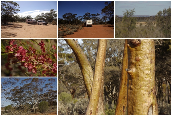
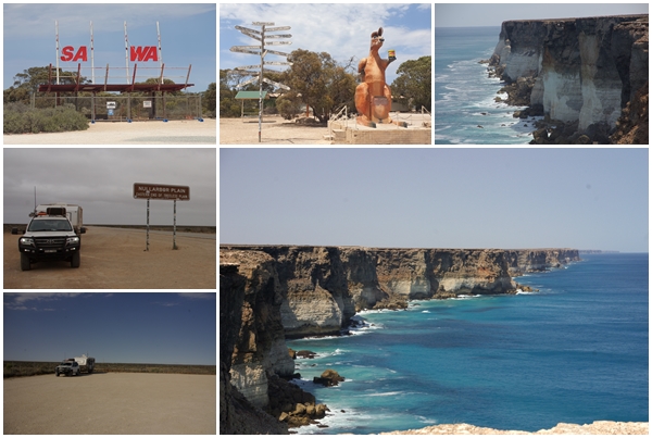
After three months in the state of Western Australia it is time to leave and make our way east. From Kalgoorlie there’s generally two routes to travel east (excluding tracks such as the Anne Beadell Hwy), namely a northern route via the Great Central Road to Uluru, which we used coming west, or the southern route via the Nullabor. As we had an appointment at the eastern end of the Nullabor, that was the route we had to take.
By the time we broke camp in Kalgoorie, filled with water and did some grocery shopping it was mid-morning. We travelled south to Norseman where we stopped and had a look around town. We were there in 2020 during COVID so didn’t have a good look then. From Norsemen we headed due east. 80 km east of Norseman we stopped for lunch at the Ten Mile Rocks rest area and decided to call it a day, having travelled only 280 km from Kalgoorlie, but an easterly wind was getting up so best to get off the road.
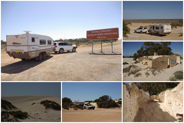
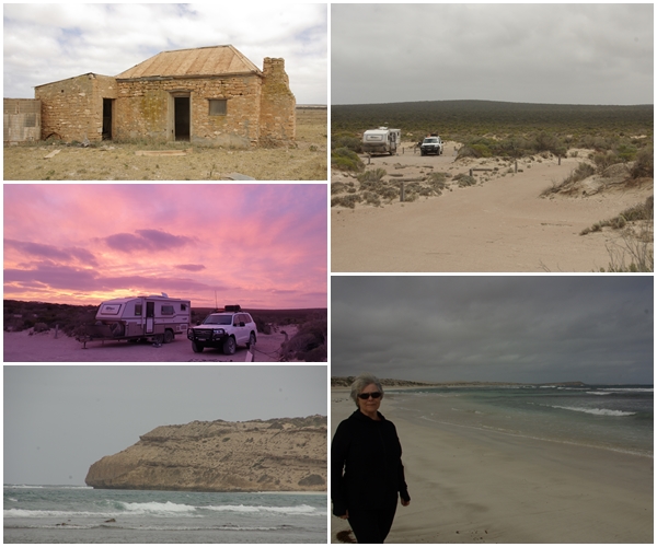
The winds were forecast to ease on the following day, but become a very strong easterly the day after. So we made a dash across the Nullabor, covering 640 km after leaving the rest area, skipping a planned overnight stop, and stopping at the Old Telegraph Station near Eucla for two nights to sit out the windy day. We’re so glad we did as the wind howled all the following day and night. We had to keep the van windows closed. Unfortunately I had left one front window cracked open in Henrietta. Oh the mess inside, which took nearly an hour to mop up the worst of it!!
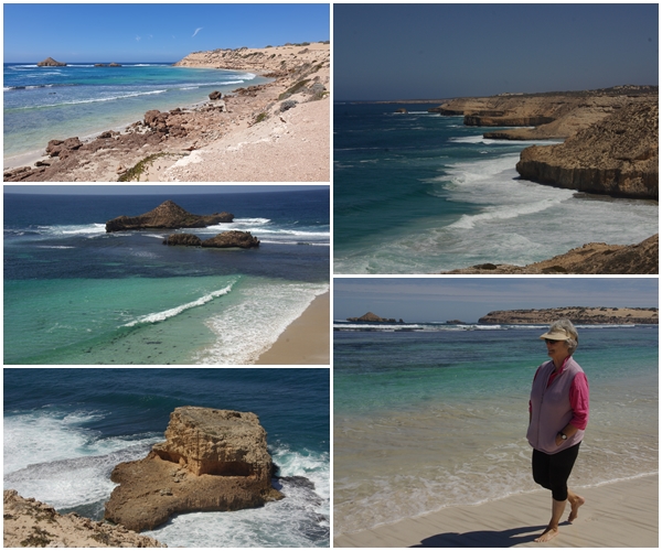
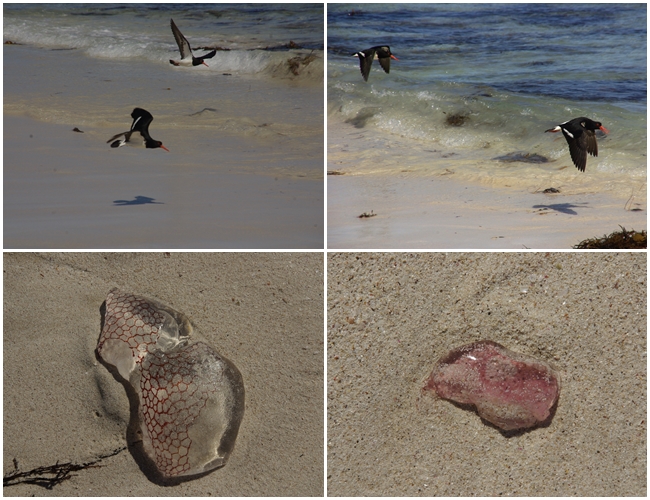
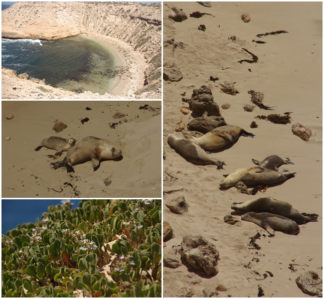
The wind didn’t ease until about 10:00am on our day of departure from the telegraph station, giving me time to do the clean up, and giving us more favourable head winds to continue east, crossing into SA just east of Eucla. We had ended up a few days ahead of time and tried to move our appointment forward, but to no avail. So we booked a camp in the Fowlers Bay Conservation Area on the coast for a few nights, but didn’t have time to reach it in one day so stopped at a very exposed free camp at the eastern end of the Nullabor. a relatively short 170 km the next day had us at the Mexican Hat campground about lunchtime. A lovely location until we realised the extent of the bee population, which kept us inside the van, rather than sitting outside, as we couldn’t relax with the little critters constantly around, despite us having placed a water source for them about 10m away. We did manage to do a few beach walks however, and evening drinks with neighbours, well away from the vans. A few bees found us but it was manageable, just.
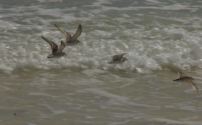
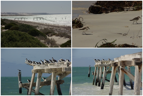 Over the sand dunes from the ruins is the remains of the Eucla jetty, now occupied by a variety of sea birds. The birds had difficulty landing on the jetty in the strong winds.
Hi Graham & Carol, great photo’s. The bees wouldn’t have been fun. Have a great time in SA.
Those cliffs are pretty amazing. We had good weather but it was still a bit scary