Friday 18 August to Monday 4 September 2023
We left Karratha mid-morning, and after a few chores in town headed south. With just over 2 weeks before we have to be at the Bushtracker Muster site at Horrocks Beach, 1,100 km south, we chose to do an Indian Ocean hop, making our way down and staying at what we hoped would be lovely beach-side camps for several days at a time.
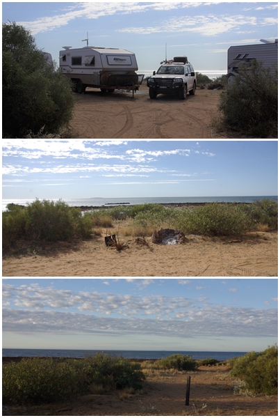
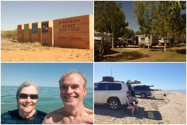
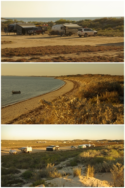
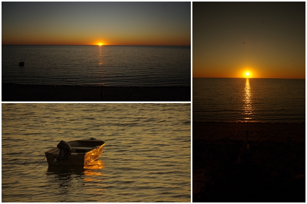
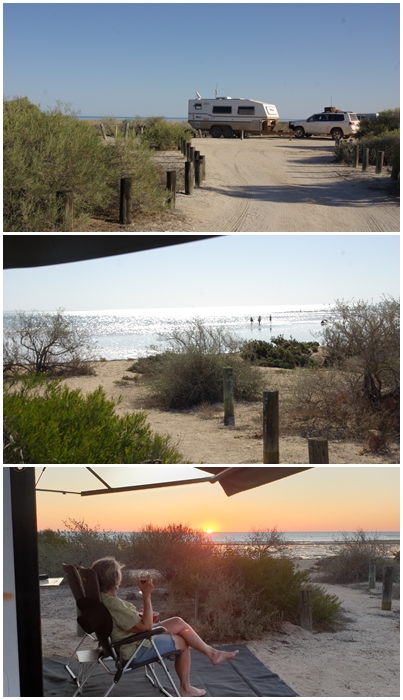
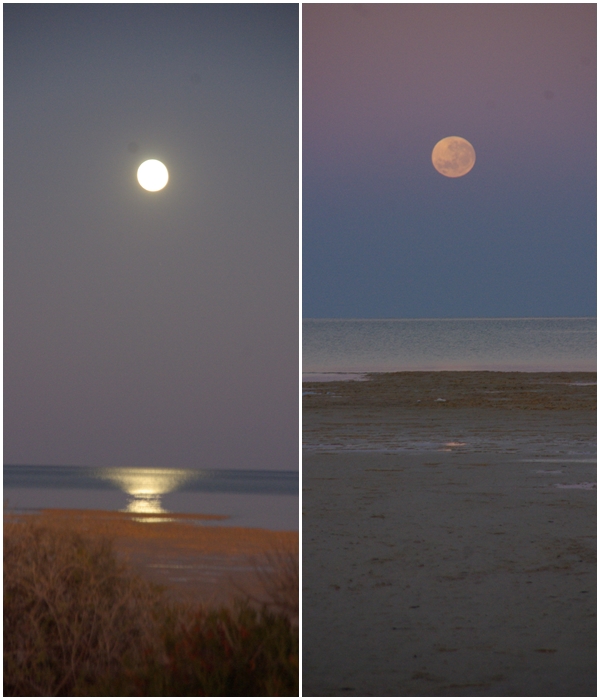
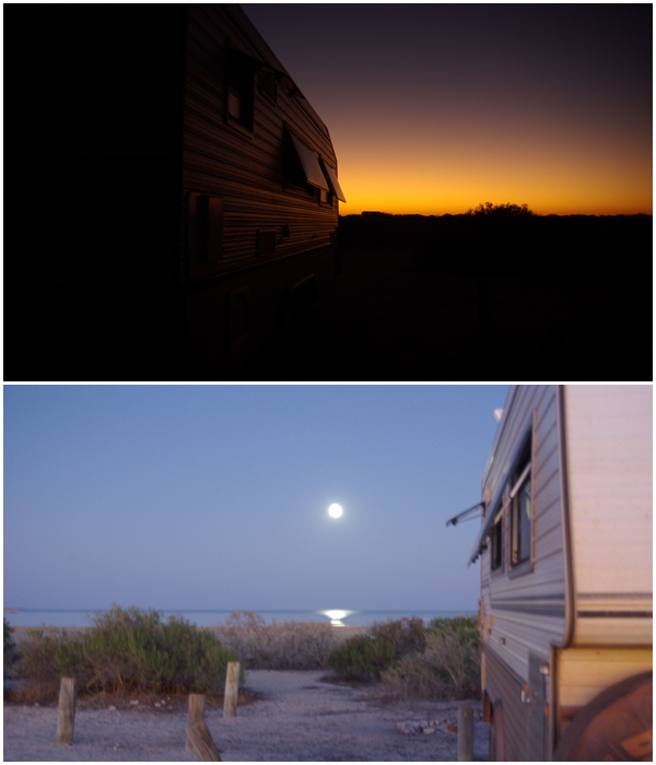
First stop, 40-mile Beach (Gnoorea Point), a short 60km from Karratha. A freedom camp, something between a free camp and a caravan park. Fees apply, but the sites are large. We scored a lovely beach-front site, much to Carol’s delight, just what she’s been looking forward to for weeks. Unfortunately it’s not a particularly good location to swim as the foreshore is made up of limestone, but great to relax for 2 days.
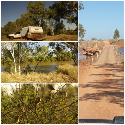
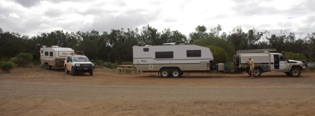
On Sunday we moved again, travelling 264 km to a free camp beside the Ashburton River near Onslow. First in – best dressed, so we found a suitable site, dropped the van, then continued along the river in case a better site was available. We found two other BOGGERs camped together just a few hundred metres from us. We stayed at our site but joined Gary, Lyn, Brad and Denise for drinks that evening.
Next day into Onslow for a sticky beak, then back to camp. Found another Bushie had pulled in, but was unattended so I left a note inviting them to our van for drinks. Chris and Sally did join us, as did Brad and Denise, plus 2 of their friends, Graham and Jan. As it turned out, Brad, Denise, Graham and Jan all knew Sally’s father……small world.
Despite being beside the river, we couldn’t swim due to the presence of crocodiles, not that we saw any. After three nights at the Ashburton River we continued south toward Exmouth, stopping at a free camp where we joined Brad and Denise again for an overnighter.
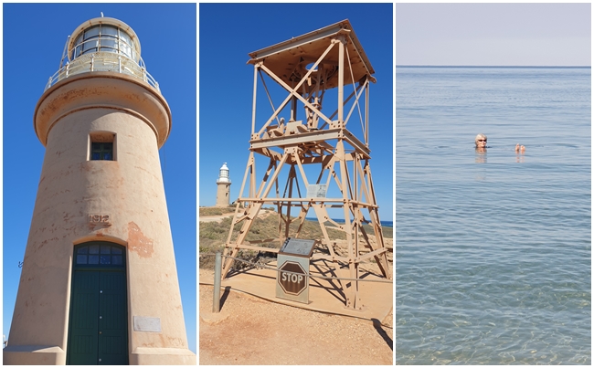
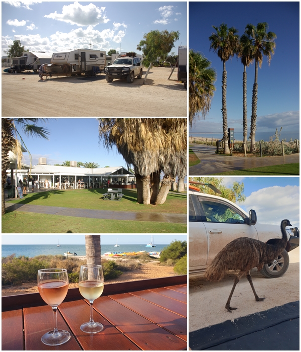
Two nights on power and water at Exmouth caravan park with a large site and nice neighbours make it tolerable. After setting up we got our washing done and drove around town. A spot of shopping including snorkels and goggles, then a late afternoon swim at Town Beach. Our first swim in the Indian Ocean. The following day we headed around to Cape Range National Park and the Ningaloo Reef. Such an awesome experience. After hiring fins from the Milyering Discovery Centre and seeking advice on snorkelling locations, we headed off to the nearby Lakeside snorkel area. Dare I say it was better than the Great Barrier Reef snorkel we did several years ago. An abundance of beautiful fish of all shapes, sizes and colours sneaking in and out of the coral all within walking distance from the shore.
Back to the van to collect wine and nibbles, then off again to Town Beach for another swim.
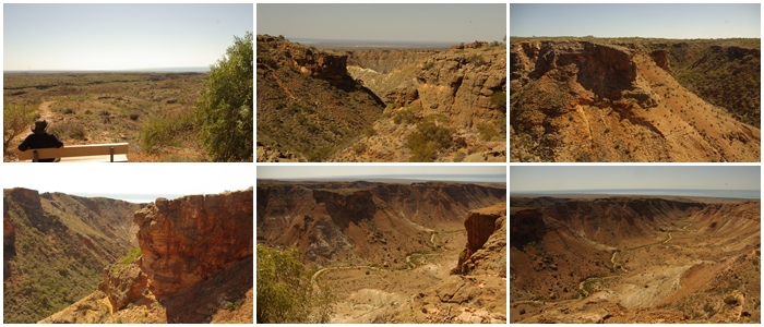
Saturday, we headed off to Bruboodjoo Point, after a detour up the eastern side of the Cape Range, leaving Blake at the bottom of the first incline.
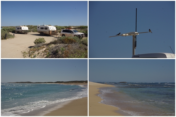
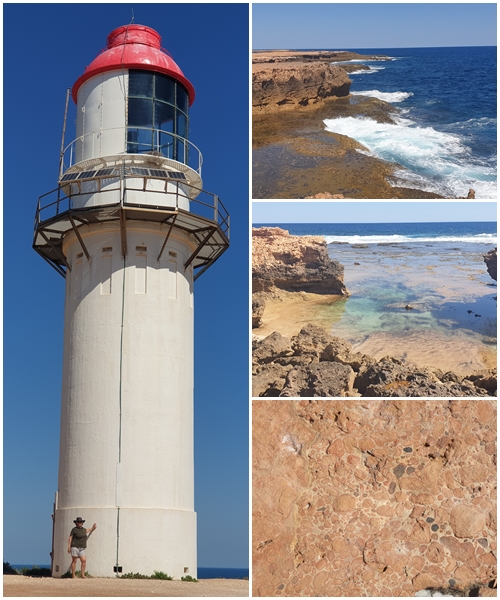
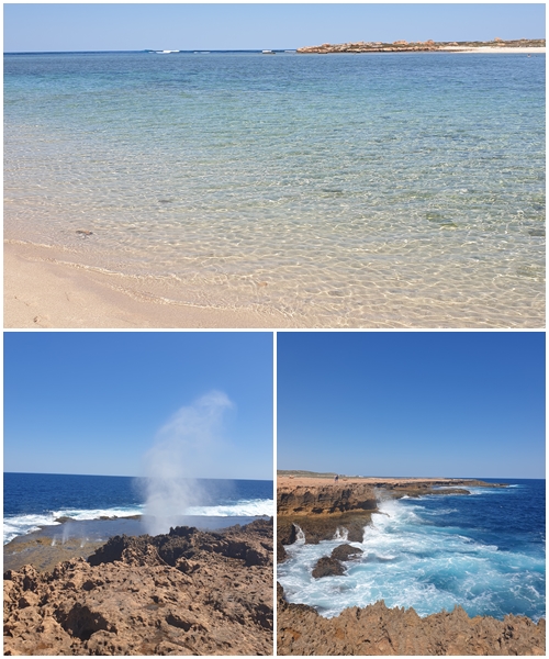
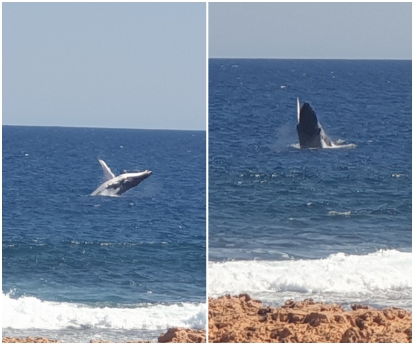
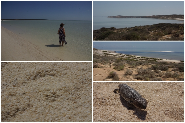
We stayed two nights at Bruboodjoo, tucked in behind a coastal dune. Not an inspiring campground, though it was huge. The water was a little murky from recent strong winds. From there it was to Quobba blowholes campground, stretched out along the coast for a few km. We found a spot next to BOGGERS Helen and Wayne. At one end of the campground was the “aquarium” a sheltered coral reef great for snorkelling at high tide. Again, lots of fish and coral plus limestone A lovely region of the coast.
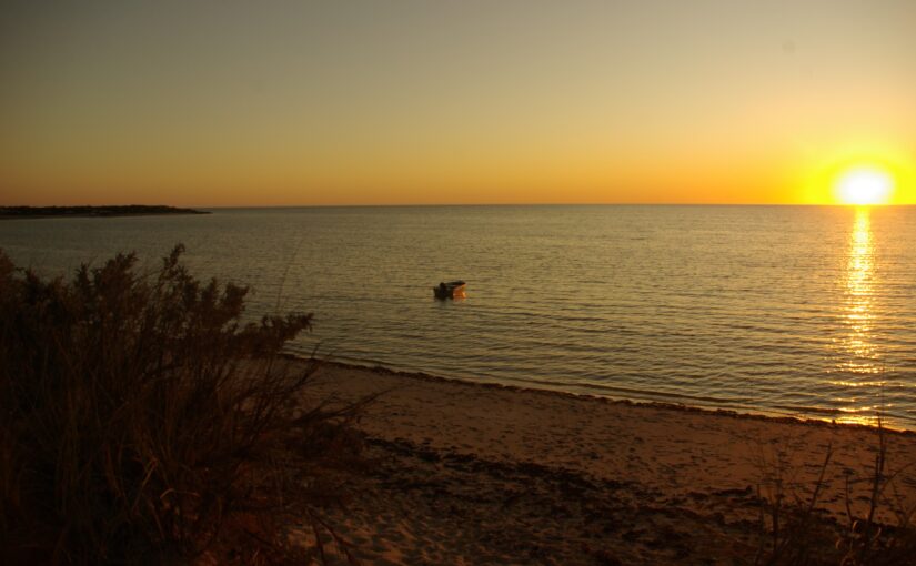
Following Quobba, it was two nights at Gladstone Bay campground, a sprawling freedom camp along the Indian Ocean shoreline. It wasn’t too crowded so we were able to snag a good site on the waterfront. Unfortunately, the Bay is very shallow, so a long wade out to a limestone reef was required for snorkelling. Nothing to see that day. Whilst there we met two more BOGGERs, Chris and Nicola, who were also heading to the Muster.
From Gladstone Bay we continued south to the bottom of Shark Bay, then up the peninsula to the Monkey Mia resort for two days, where we met more BOGGERs on their way to the Muster, Matt and Renee, and Frank and Maree, all first timers to an AGM Muster. The “famous” Dolphin Experience at Monkey Mia was a bit of a letdown, as we expected from various recent news items. They only feed two named dolphins who didn’t show up that morning. A few other dolphins swam in to the shore, but weren’t fed. Close to 200 tourists to view six dolphins.
A further 300kms south for an overnight stop where we met BOGGERs Paul and Jillian, then we were off early to fill with water, fuel, food and wine at Northampton before the final 24km to the Muster site at Horrocks Beach.
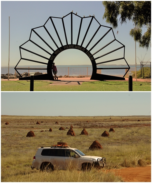
The region is littered with these termite mounds. Considering there are no trees to be found, Carol and I were surprised at the number of mounds. These are spinifex termites, so they have a abundant supply of food.
![]()
Hi Graham & Carol, great photos. Looks great.
As you know we are in Darwin, having a great time, but too hot for me.
Have a great muster.